By Bruce Doorly

Today Google Maps will show over 100 roads covering almost all available space in Raritan. The evolution from one road to over a 100 took over two centuries. Here is what this author has been able to find regarding this transformation.

Back in the 1700s, the Old York Road served as a path from Philadelphia to New York. It was a two-day trip by stagecoach along the “Sure Swift Stage Coach” line with a stop overnight at the halfway point. The line ran as early as 1765. Leaving at sunrise and traveling till sunset, the horses were changed every two hours as there were stables along the way with fresh horses.
During the Revolutionary War George Washington’s troops often traveled through Raritan along the Old York Road.
In 1806, the state legislature of New Jersey drafted a bill authorizing the building of a road from Phillipsburg to New Brunswick. This road would pass through Somerset County into Somerville and onto New Brunswick. This road, completed in 1809, was for a time a toll road in that it was kept in “passable” condition – a feature that was coveted in that era.
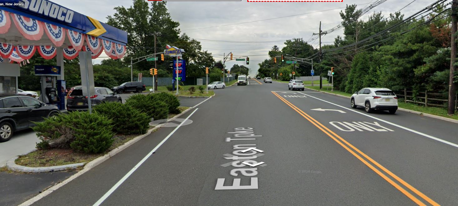
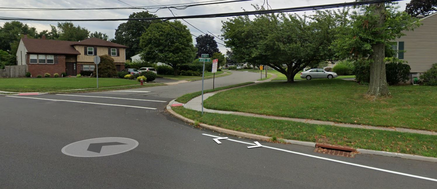
Today the Raritan portion of this road is now Route 28 and serves as the northern border of the town.
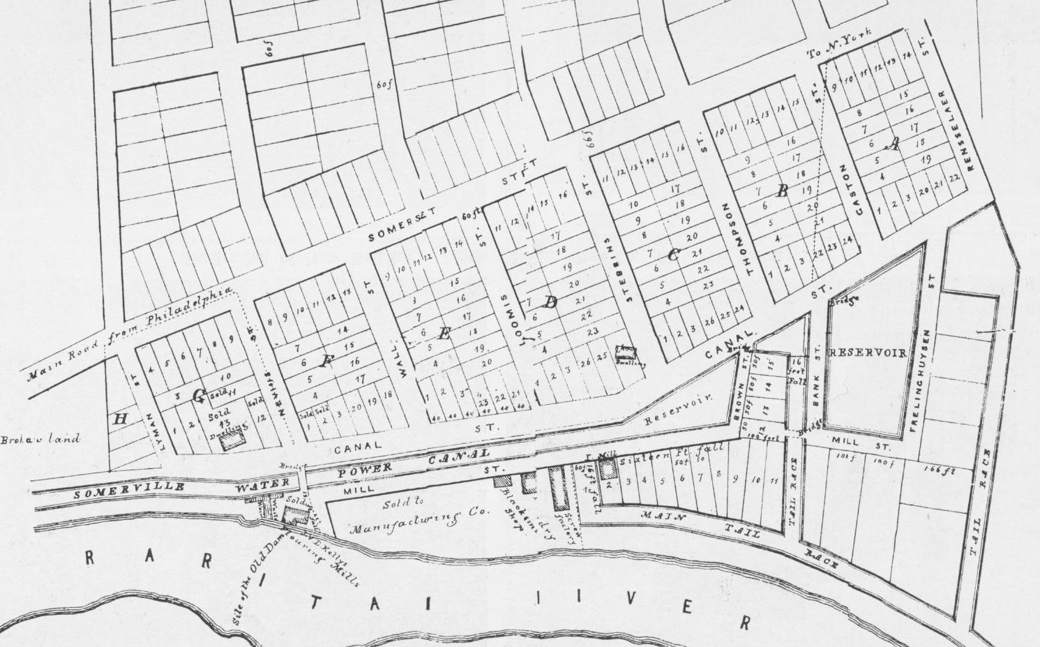
The town of Raritan was planned out in advance in 1840 as a manufacturing town. A canal was dug and factories were built that harnessed the water power from the Raritan River.
A grid of streets with small lots were established to be sold as private property. Running south of the main street (Somerset Street) six streets were laid out. Starting from the west, Lyman Street, Nevius Street, Wall Street, Loomis Street, Doughty Street, and Thompson Street. This section of six streets would contain the first groups of homes in Raritan.
By 1860 with the manufacturing town growing and workers needing a place to live, the town of Raritan expanded slightly north of Somerset Street populating First Avenue, Gaston Avenue, Anderson Street, Second Street, Second Avenue, Church Street, and the northern parts of Wall Street and Thompson Street.
With Somerset Street along the Southern part of town and the Eastern Turnpike (28) at the top, naturally a street connecting the two was necessary. This was First Avenue. It was initially called “Van Middlesworth Avenue”, as it was named after a prominent family that had a house in the northern part of that road.
By 1873 a map shows that it had been renamed First Avenue.
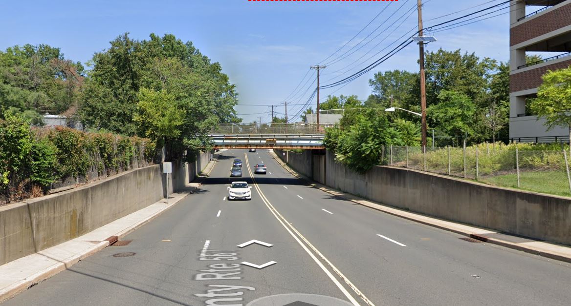
The street would intersect with the railroad until 1974 when a tunnel was built that allowed First Avenue to go underneath the train tracks.
First Ave. was completed in 1974
Raritan progressed outward from the main downtown in the early 1900s –- Farrand Avenue and Tillman Street (1917), Victoria Street (1919), Sherman Avenue (1919) and Bell Avenue (1928).
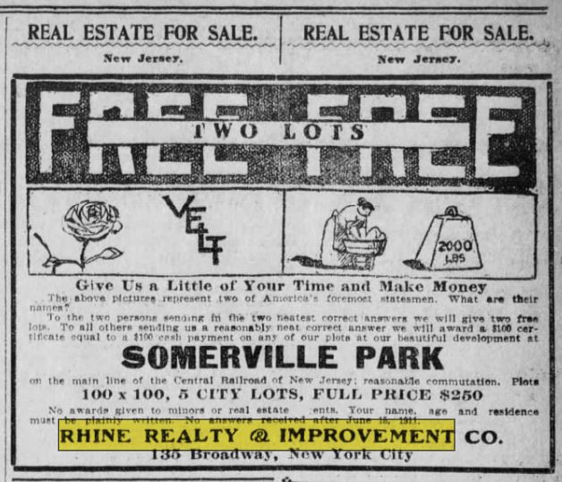
In 1910, Raritan had a northern section west of First Avenue surveyed and divided into six unnamed streets. The Rhine Property company of New York purchased most of the lots and named the streets North to South: Bound Brook Avenue, Elizabeth Avenue, Rhine Boulevard, Plainfield Avenue, New York Avenue, and Brooklyn Avenue.
Lots were gradually sold to individuals and by 1928 the Raritan Street directory showed these streets with a house or two built on each street. By 1960 most lots on these streets had houses.
This section of streets was strangely known in the early days as “Somerville Park.” A designation that is forgotten today.
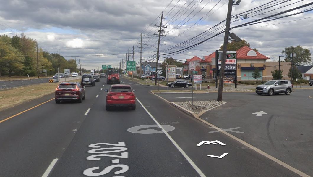
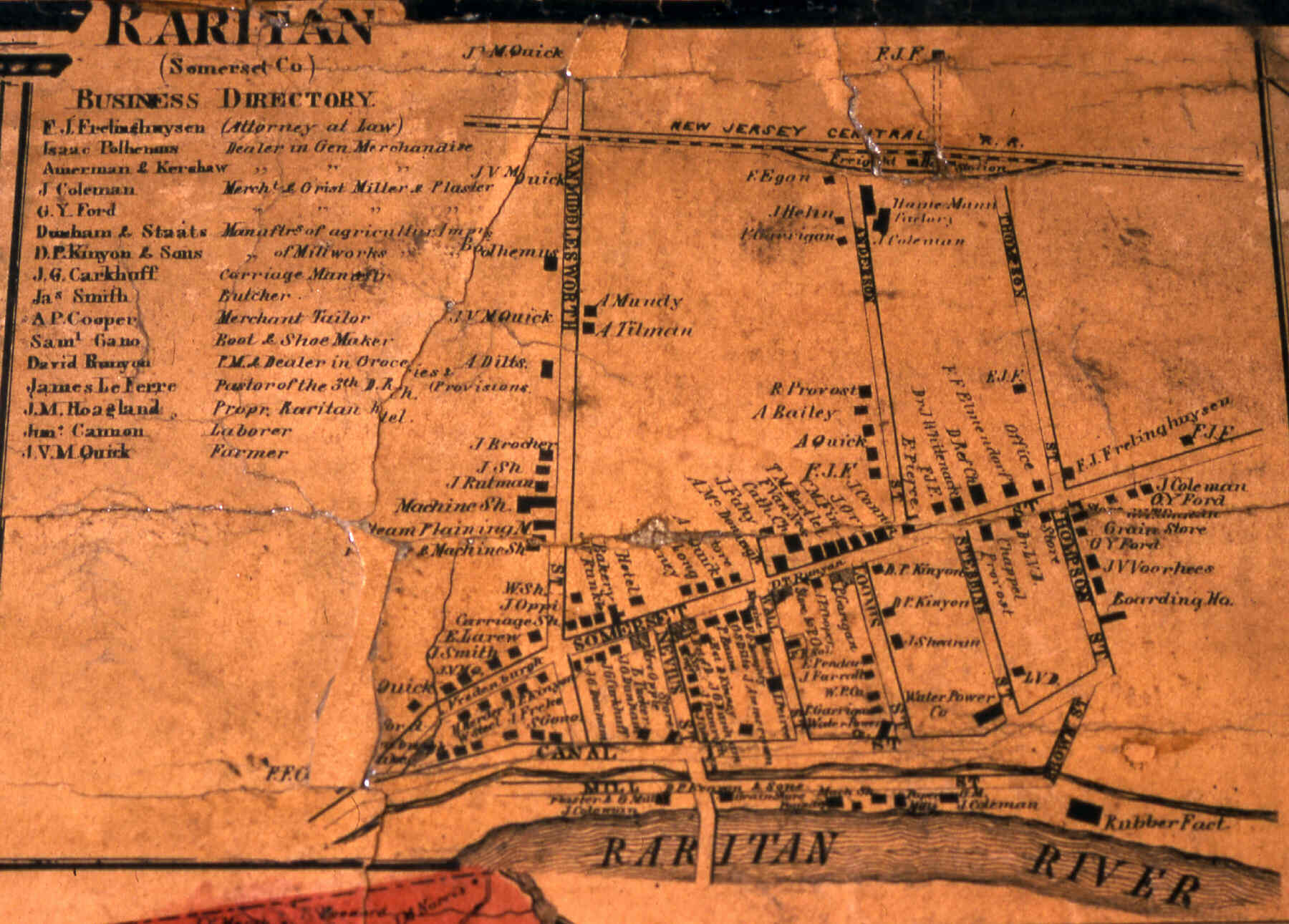
Frelinghuysen Avenue first appeared on an 1891 map. It was a significant street in town years ago going through Anderson and Thompson Street connecting with the Eastern Turnpike (28) in Somerville. The Raritan portion of Route 202 (previously Route 29) was built in 1929. It took over a portion of Frelinghuysen Avenue.
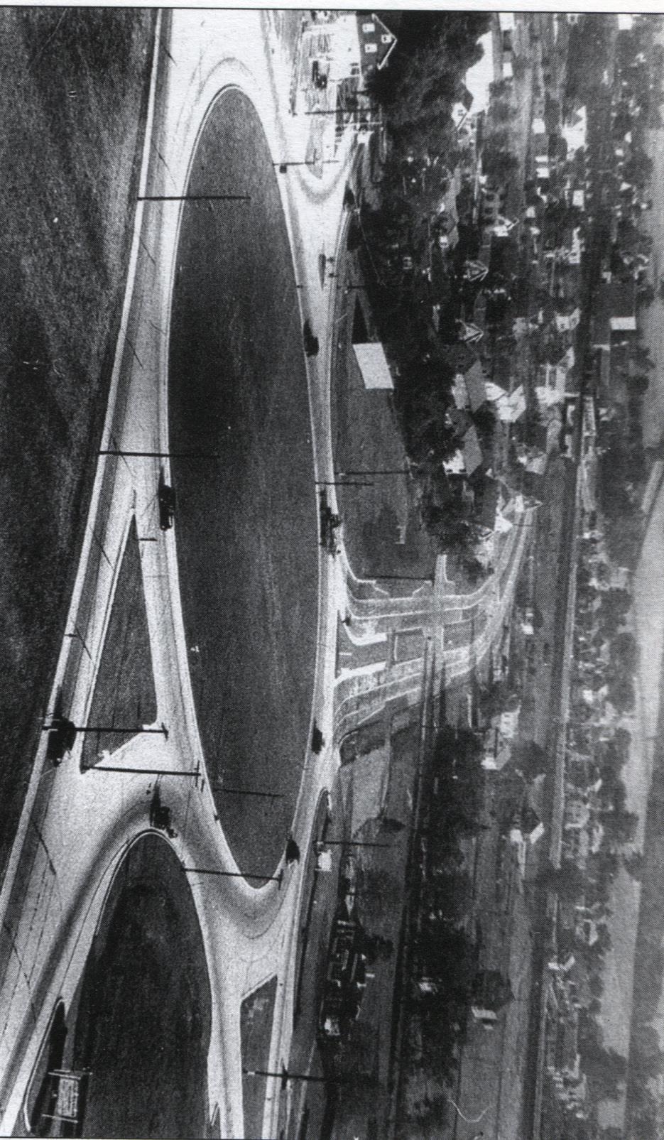
Built in 1934, the Somerville Circle would alter the Raritan streets. The entire southern portion in Raritan of Route 206 (previously Route 31) would be built in 1934 right through previously quiet neighborhoods of Frelinghuysen Avenue, Sherman Avenue, Bell Avenue, and Somerset Street.
Before 1934, Route 206 (31) went around Raritan to the east through Somerville.
Town View Manor - In 1957, a developer built about 50 homes on the newly created Ashton and Lynwood Streets - then called the now forgotten “Town View Manor.”
Redstone - The years 1955-1965 saw the building of many homes towards the south west section of town. The streets Weiss Terrace, Meehan Avenue, Tysley Place, Helene Place, Avonridge Road, and Brentwood Road would be established during this ten-year period. Most of the area, when being built, was labeled Redstone. Another forgotten designation.
Stone Bridge - Raritan’s most recent street additions - Minetti Drive, Miele Court, Santora Drive, and Del Rocco Court were added with the opening of the Stone Bridge apartment complex. These streets were named after Raritan Mayors and people who had made significant contributions to the town.
Riverside Avenue was built in 1976, Columbus Avenue in 1979, and Dipalo Court in 1999.
So that is how Raritan went from one dirt road to over a hundred roads. To see a list of all 108 streets with the (estimated) year that they first appeared